
0
Owner's of the Humminbird Marine GPS System Di Combo gave it a score of 0 out of 5. Here's how the scores stacked up:
94
NOTE: Aminimumdistanceof10feetwillbemaintainedbetweentheUpperand
Lower Range regardless of the manualsettingsentered.
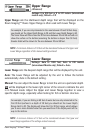
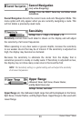
The available Upper Range settings are determined by your Humminbird® model
as follows:
• 386ci: 0 to 1490 ft, 0 to 454 m (International Models only); Default = 0
• 386ci DI: 0 to 990 ft, 0 to 327 m (International Models only); Default = 0
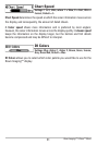
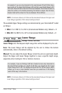
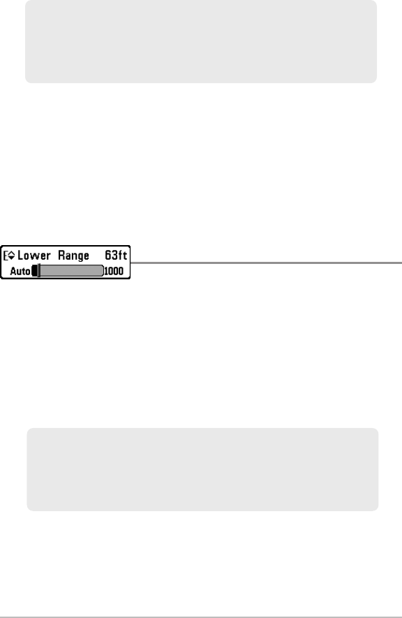
Lower Range
Settings: Various, see below.
Lower Range sets the deepest depth range that will be displayed by the unit.
Auto: The Lower Range will be adjusted by the unit to follow the bottom
automatically. Auto is the default setting.
Manual: You can adjust the Lower Range to lock the unit on a particular depth.
Adjust the Upper and Lower Range together to view a specific depth range,
especially when looking for fish or bottom structure.
NOTE: Aminimumdistanceof10feetwillbemaintainedbetweentheUpperand
Lower Range regardless of the manualsettingsentered.
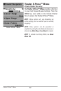
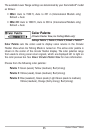
For example, if you are fishing in 60 feet of water but are only interested in
the first 30 feet (surface to a depth of 30 feet), you should set the Lower
Depth Range limit to 30. The display will show the 0 to 30 foot range, which
allows you to see a more detailed view than you would see if the display
went all the way to the bottom.
For example,if you are onlyinterested in the areabetween 20 and 50 feet deep,
you should set the Upper Depth Range to 20 and the Lower Depth Range to 50.
The SonarView will thenshow the 30 foot area between20 and 50and will not
show the surface or the bottom (assuming the bottom is deeper than 50 feet).
Greater detail will be shownforthe areabetween20 and 50feet.
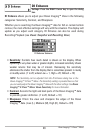
Flasher X-Press™Menu


Find Your Products By Category
- Communications
- Photography
- Portable Media
- Home Audio
- Kitchen Appliance
- Computer Equipment
- TV and Video
- Cell Phone
- Household Appliance
- Video Game
- Laundry Appliance
- Musical Instruments & Equipment
- Power Tools
- Automotive
- Car Audio and Video
- Outdoor Cooking
- Marine Equipment
- Lawn and Garden
- Personal Care
- Fitness & Sports
- Baby
Please Login
