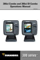

0
Owner's of the Humminbird Marine GPS System Di Combo gave it a score of 0 out of 5. Here's how the scores stacked up:
135
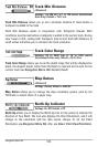
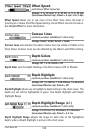
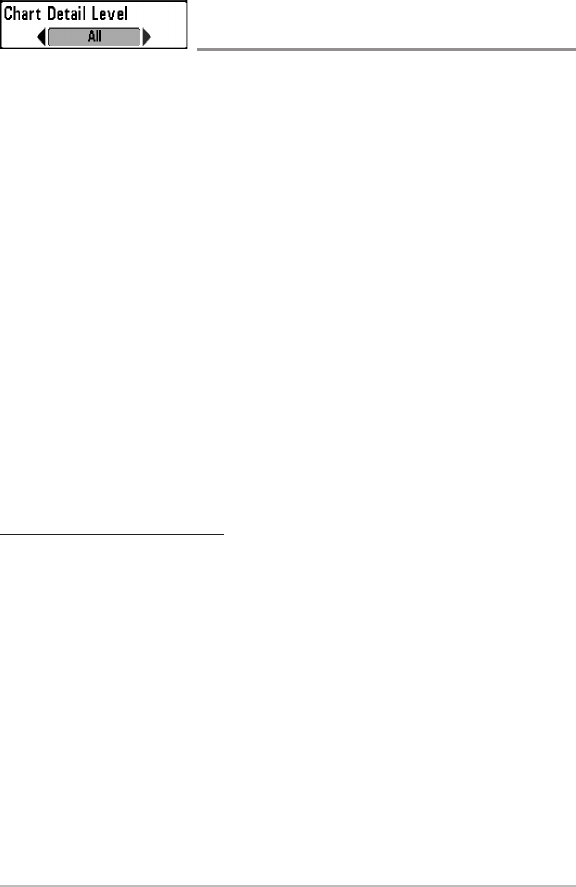
Chart Detail Level
(optional-purchase Navionics® charts only)
Settings: Basic, Navigation, Underwater, All, Custom;
Default = All
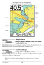
Chart Detail Level allows you to select how much chart detail you want
displayed on the Navigation Views.
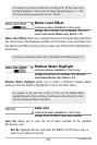
NOTE: Some chart details are only available with optional-purchase SD memory
cards.
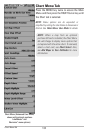
Basic shows land areas, ports, obstructions, and restricted areas.
Navigation shows navaids, landmarks, ferryways, andnavigation routes
in addition to the Basic information.
Underwater shows depth contours, fishing areas, underwater wrecks,
tides and currents in addition to the Basic and Navigation information.
All shows roads, buildings, railways, and other notations in addition to
the Basic, Navigation, and Underwater information.
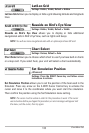
Custom (Advanced user mode) allows you todisplay or hide chart layers
on the Navigation Views. The available chart layers include Navigable
Canals, Boundaries, Restricted Areas, Coastline, Bridges, etc.
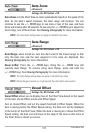
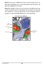
To customize the chart layers:
1. Select Chart Detail Level from the Chart Menu Tab. Press the RIGHT
Cursor key to select Custom. Selecting Custom adds the Custom Chart
Layers menu to the Chart menu.
2. Press the DOWN Cursor key to select Custom Chart Layers, and press
the RIGHT Cursor key to access the submenu.
3. Use the 4-WAY Cursor key to select a layer and turn it on (visible) or off
(hidden). All changes take place immediately.
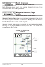
Chart MenuTab


Find Your Products By Category
- Communications
- Photography
- Portable Media
- Home Audio
- Kitchen Appliance
- Computer Equipment
- TV and Video
- Cell Phone
- Household Appliance
- Video Game
- Laundry Appliance
- Musical Instruments & Equipment
- Power Tools
- Automotive
- Car Audio and Video
- Outdoor Cooking
- Marine Equipment
- Lawn and Garden
- Personal Care
- Fitness & Sports
- Baby
Please Login
