

0
Owner's of the Humminbird Marine GPS System Di Combo gave it a score of 0 out of 5. Here's how the scores stacked up:
139
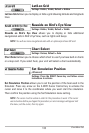
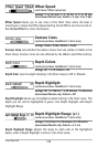
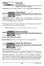
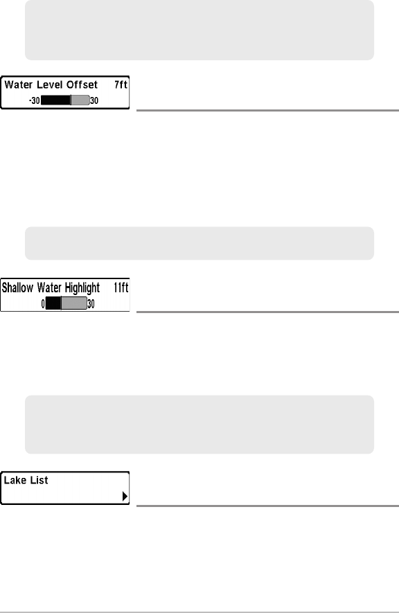
Water Level Offset
(optional-purchase LakeMaster® charts only)
Settings: -30 to +30 feet, -5 to +5 fathoms, -10 to +10
meters (International Models only); Default = 0 ft
Water Level Offset allows you to change the level of the water being read from
the control head. The displayed numbers on the Contour Lines will adjust from
the Water Level Offset setting, and the water level offset will be highlighted in
dark brown.
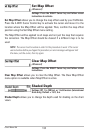
Shallow Water Highlight
(optional-purchase LakeMaster® charts only)
Settings: 0 to 30 feet, 0 to 5 fathoms, 0 to 10 meters
(International Models only); Default = 0 ft
Shallow Water Highlight allows you to select a minimum shallow depth
setting so that the depth is highlighted in red in the Chart Views.
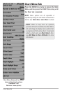
Lake List
(optional-purchase LakeMaster® charts only)
Settings: Press the RIGHT Cursor key to activate.
Lake List allows you to view the list of lakes included on the installed
SD memory card.
Sort By: Highlight Sort By, and press the RIGHT or LEFT Cursor keys to
select a sort option for the list.
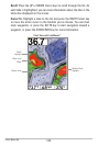
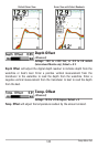
For example, if your boat has a draft of 3 feet, set the Shallow Water
Highlight featureto 3 feet, andthe unit willdrawa red band from0 to 3feet.
Use this setting with Water Level Offset.
For example, if the lakeis down 5feet, set the WaterLevel Offsetsetting to -5.
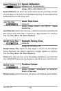
For example, if you know a certain fish is holding at 18 - 20 feet, you can set
the Depth Highlight at 19 feet, and the Depth Highlight Range a +/- 1 foot.
The view will show a green band from 18 - 20 feet.
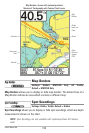
Chart MenuTab


Find Your Products By Category
- Communications
- Photography
- Portable Media
- Home Audio
- Kitchen Appliance
- Computer Equipment
- TV and Video
- Cell Phone
- Household Appliance
- Video Game
- Laundry Appliance
- Musical Instruments & Equipment
- Power Tools
- Automotive
- Car Audio and Video
- Outdoor Cooking
- Marine Equipment
- Lawn and Garden
- Personal Care
- Fitness & Sports
- Baby
Please Login
